Alberton Gorge Whitewater Rafting
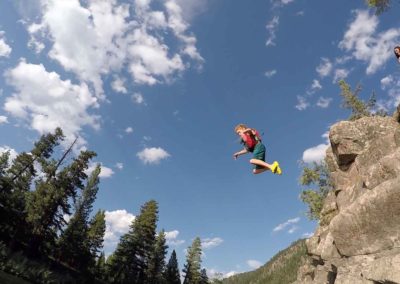
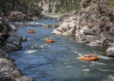
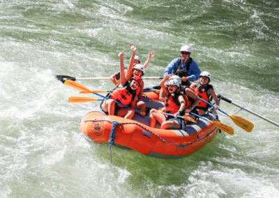
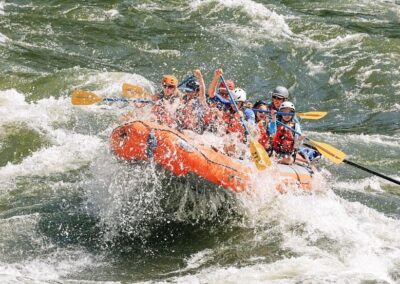
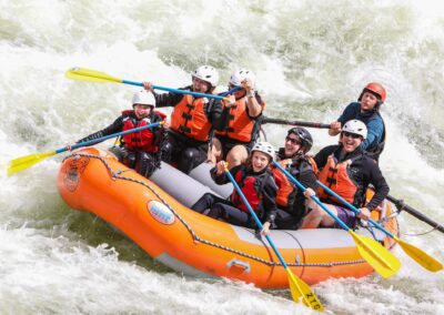
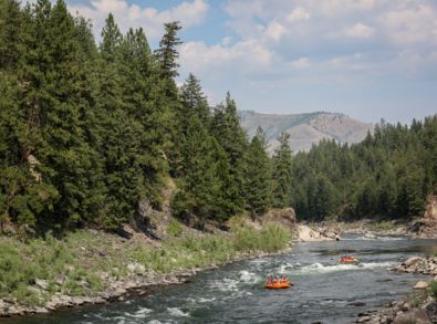
The Alberton Gorge of the Clark Fork River offers some of the best whitewater rafting in Montana. It’s our home river and we spend hundreds of days each year rafting its legendary features. The Alberton Gorge flows through a deep canyon, with rose-colored cliffs, sandy beaches, a ponderosa pine forest, and deep green pools between the rapids. Alberton Gorge rafting is the best way to enjoy summer!
Book a Whitewater Rafting trip on the Alberton Gorge
Save 20% on any trip with code SPLASH

Alberton Gorge -
Half Day
Classification: Class III
Time: 2-4 Hours depending on river levels
Pricing: $70 per adult, $65 per child 12 and under)


Alberton Gorge
Riverside Lunch Trip
Classification: Class III
Time: 3-6 Hours depending on river levels
Pricing: $95 per adult, $85 per child 12 and under)

Alberton Gorge -
Full Day
Classification: Class III
Time: 4-7 Hours depending on river levels
Pricing: $120 per person
Alberton Gorge Rafting Overview
Whitewater Rafting on the Alberton Gorge
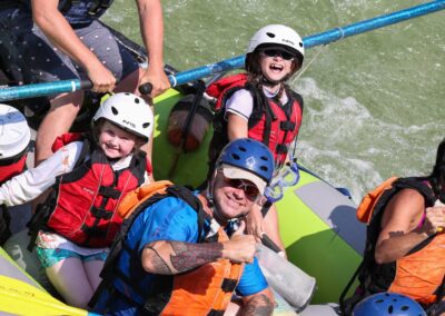
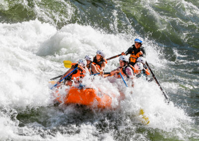
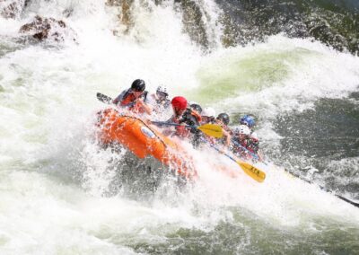
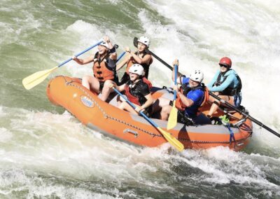
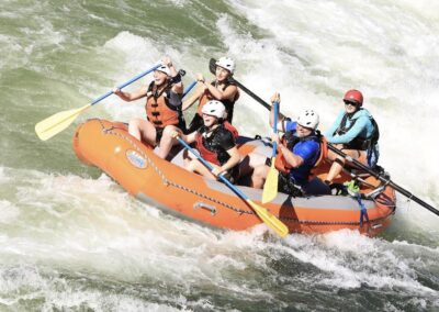
The Alberton Gorge rafting offers some of the most exciting and accessible whitewater in Western Montana. Just 40 minutes west of Missoula, this section of the Clark Fork is known for its splashy Class II and III rapids, canyon scenery, and swimming-friendly stretches. Everybody loves the Gorge! First timers, seasoned rafters, locals and visitors all find something to love on the river.
“This is where we take our friends on our days off,” many of our guides say — and they mean it.
A Montana Rafting Trip for Everyone
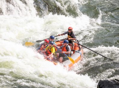
When summer hits and the water level drops, the Gorge transforms into a playful, technical run with dozens of Class I, II and III rapids like Triple Bridges, Ice Box, Roller Coaster, Boat Eater, Tumbleweed, Fang, and Davey Jones’s Locker. It’s what makes Alberton Gorge whitewater rafting so fun!
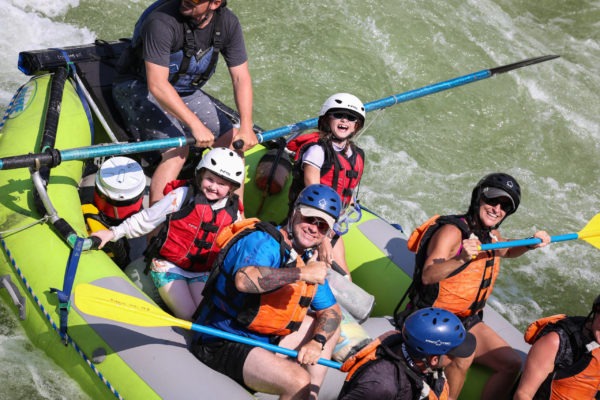
Calm sections between rapids are perfect for swimming, water fights, and relaxing float time which is why the Gorge is fan favorite! It has everything you need for an ideal family-friendly rafting trip.
Scenic Beauty and Wildlife On The River
Towering canyon walls, lush forests, and regular sightings of raptors and river wildlife make Alberton Gorge a feast for the senses. It’s one of the most scenic stretches of whitewater in the region, and a perfect choice for anyone looking to cool off and enjoy the wild side of Montana.
Rafting Headquarters Right on the Gorge
Our Crystal Springs headquarters overlooks the Alberton Gorge and is just minutes from both the put-in and take-out locations. That means less time driving, easier logistics, and a relaxing base to enjoy a picnic or cold beverage after your river adventure. Plus, it makes for a great experience!
This is our home river and we have run guided whitewater rafting trips on the Alberton Gorge for 21+ years. The Gorge is such a fun river that our guides even raft it on their days off!
The best part? You’re never more than a few minutes from your car, your cooler, or your dry clothes.
Alberton Gorge Geology: A Billion-Year Backstory
The scenery and surroundings are almost as exciting as the rapids! You’ll raft past massive rocks that were shifted long ago. They formed during the last Ice Age and were sculpted by the catastrophic Missoula Floods.
The canyon walls showcase Belt Supergroup rocks that are over a billion years old. You’ll raft past ancient ripple marks, colorful rock layers, and mud cracks left by long-gone inland seas which is a reminder that this river runs through deep time.
Ask your guide about the history, they love sharing stories with you.
Delicious Riverside Lunch
Our riverside lunch is homemade and nothing that you will find elsewhere! Ian, the owner of Zoo Town Surfers, prepares meat, sauces and all the fixings for an incredible sandwich. We also provide cookies, fresh pineapple, chips and a beverage. It tastes even better when you are smiling in the sunshine with your loved ones and after a day of paddling. Our riverside lunch on the Alberton Gorge is something that sets us apart from others.
Plan Your Alberton Gorge Rafting Trip Today
Summer is Alberton Gorge rafting season! We’d love to take you down one of our favorite stretches of river. With warm weather, splashy white water, and riverside fun, this is the trip to book if you want classic Montana rafting just outside Missoula. Guests tell us that the Alberton Gorge was the Montana rafting trip they had envisioned!
Give us a call or book online to lock in your trip today. We would love to show you our favorite stretches of the river.

